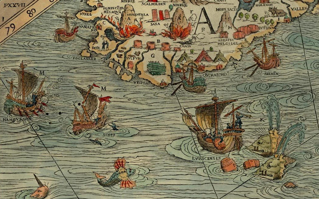
The North Atlantic Fish Revolution
An Environmental History of the North Atlantic 1400-1700 (NorFish)
· Professor Poul Holm (P.I.)·
European Research Council Advanced Grant (2016-2020), NorFish, ERC-2014-ADG
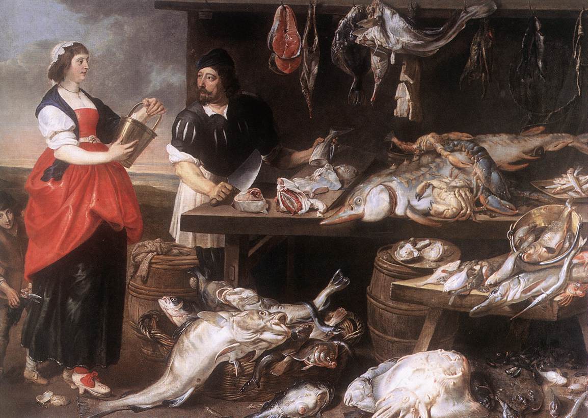
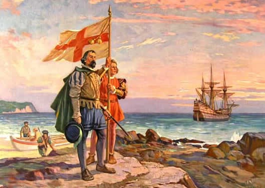
In 1497, John Cabot returned to Bristol from a voyage across the North Atlantic. He told of waters so thick with fish that they could be lifted straight on board in baskets. Within a few years of this journey fishermen from all over Western Europe made the journey across. This was the beginning of the Fish Revolution of the early-modern world.
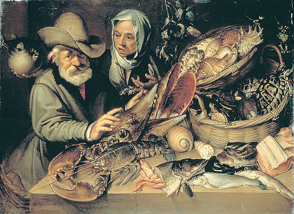
The Fish Revolution was one of the first examples of the disrupting effects of globalization and climate change. Fish was a high-priced, limited resource in the Late Middle Ages. The Grand Banks fishery offered abundant high-quality low-priced catches to the European market. At the same time climate worsened as the Little Ice Age drove down sea temperatures and changed marine ecosystems.
About NorFish
NorFish is a European Research Council (ERC) Advanced Grant led by Prof Poul Holm in Trinity College Dublin, focuses on the premise that a 16th century shift in marine fish pricing and supply in conjunction with the Little Ice Age and lowering of sea temperatures not only rise to the North Atlantic Fish Revolution but also forms one of the first documented examples of the disrupting effects of globalisation and climate change.
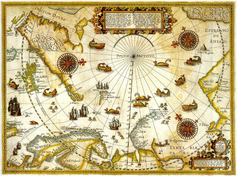
The project examines the role of the Fish Revolution for a range of inter-related aspects of North Atlantic history, with NorFish’s interdisciplinary team drawing on archaeology, history, cartography, geography, and ecology to develop interpretative frameworks that synthesise a broad spectrum of source data to assess the overall objective of the project.
NorFish’s interdisciplinary team draws on archaeology, history, cartography, geography, and ecology to assess the objectives of the project.
Project ACTIVITIES
The Norfish project is active in developing its interdisciplinery themes. Apart from pulications and online, searchable databases, like HansDoc and DanDoc, various relevant activities are carried out.
For example, an introduction to the project is availalbe that provides insights into the themes to be explored. A further example is a detailed description of the 'Oosterscher Zee' map by Jan van Hoirne (Anterp,1526).
For more explorations into Norfish, visit the searchable Norfish Platform a Database and Cartography Hub which provides visual and interactive information.
