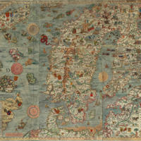
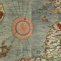
[Carta marina] Marine map and Description of the Northern Lands and of their Marvels, most carefully drawn up at Venice in the year 1539
Dublin Core
Title
[Carta marina] Marine map and Description of the Northern Lands and of their Marvels, most carefully drawn up at Venice in the year 1539
Subject
Cartography
Creator
Olaus Magnus
Publisher
https://upload.wikimedia.org/wikipedia/commons/e/ea/Carta_Marina.jpeg
Date
1539
Still Image Item Type Metadata
Original Format
Map
Physical Dimensions
170 x 125 cm
Files
Citation
Olaus Magnus, “[Carta marina] Marine map and Description of the Northern Lands and of their Marvels, most carefully drawn up at Venice in the year 1539,” NorFish Platform: Databases & Cartography Hub, accessed February 10, 2025, http://cehresearch.org/norfishplatform/items/show/617.


