Skip to main content
NorFish Platform: Databases & Cartography Hub
Search using this query type:
Keyword
Boolean
Exact match
Search only these record types:
Item
File
Collection
Advanced Search (Items only)
Search
Home
Index of all Items
Browse All NorFish Collections
GIS Maps
Cartographical Stories
External Databases
DanDoc
HansDoc
Home
Index of all Items
Browse All NorFish Collections
GIS Maps
Cartographical Stories
External Databases
DanDoc
HansDoc
Browse Items (100 total)
Browse All
Browse by Tag
Search Items
Collection: Cartographical Perspectives on the Evolution of Newfoundland's Grand Banks Fisheries in the Sixteenth, Seventeenth, and Eighteenth Centuries
Previous Page
of 10
Next Page
Sort by:
Title
Creator
Date Added
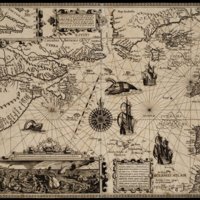
Nova Francia, alio nomine dicta Terra nova : anno 1504 à Britonibus primum detecta
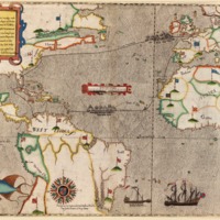
[Map and views illustrating Sir Francis Drake's West Indian voyage, 1585-6].
[Portulan des mers d'Europe et du nord de l'océan Atlantique] [Excerpt]
[The Gilbert Map c.1583] [Reproduction of the ms map of North America and the Arctic Regions by Sir H. Gilbert c. 1583]
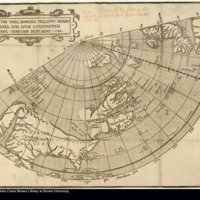
Illustri viro, domino Philippo Sidnæo Michael Lok civis Londinensis hanc chartam dedicabat: 1582
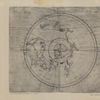
[A spherical projection of a part of the northern hemisphere, including all America north of the line, and the western parts of Europe and Africa, by John Dee, 1580, very neatly drawn, on vellum.]
[Portolan atlas] f6
[Untitled map of Arctic and Northwest Passage]
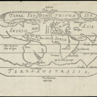
[Untitled Oval Map of the World]
A General Map, Made Onelye for the Particuler Declaration of this Discovery [Map of the World]
Previous Page
of 10
Next Page
Output Formats
atom
,
dcmes-xml
,
json
,
omeka-json
,
omeka-xml
,
rss2

![1576 [gilbert] osher.jpg](http://cehresearch.org/norfishplatform/files/square_thumbnails/beb109b414e070572c7c339ce7ca812d.jpg "1576 [gilbert] osher.jpg")